


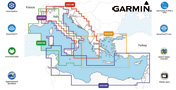
GARMIN SMALL BLUECHART G3 VISION CARD
| Code | Description |
|---|---|
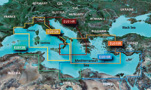
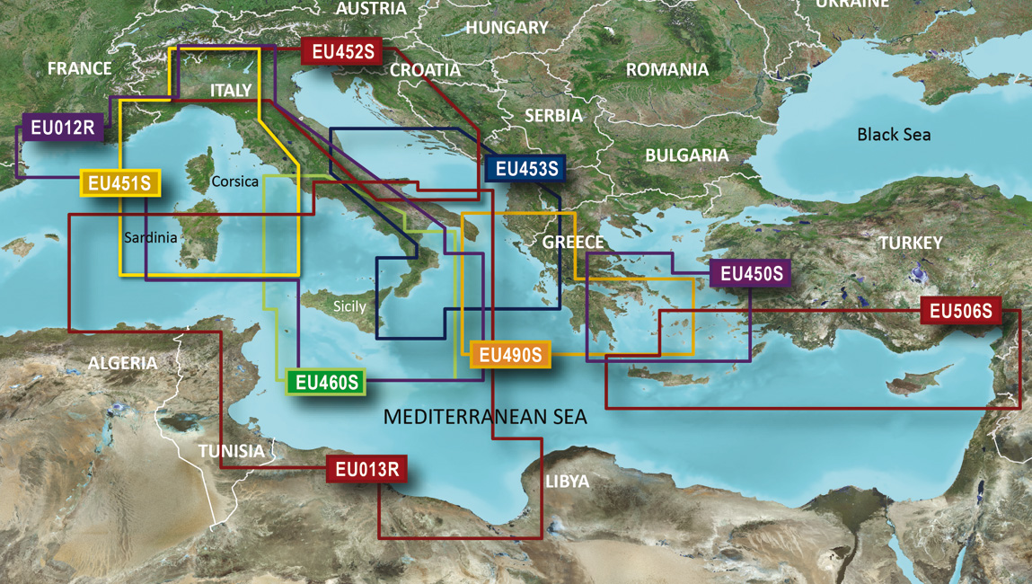
| Garmin Small G3 VISION MicroSD or SD card Liguria, Corsica and Sardinia | |
| Garmin Small G3 VISION MicroSD or SD card Adriatic Sea north coast | |
| Garmin Small G3 VISION MicroSD or SD card Adriatic Sea south coast | |
| Garmin Small G3 VISION MicroSD or SD card Sicily to Ostia Lido |
Availability:
- Available
- Not available
- Stock not managed
GARMIN COMPATIBILITY TABLE
| Features | G3 | G3 VISION |
| Features | G3 | G3 VISION |
|---|---|---|---|---|---|---|
| "Seamless"1 cartography | X | X |
| Currents | X | X |
| "Object oriented"2 cartography | X | X |
| HD Bathymetric charts with pause up to 30 cm | X | X |
| Bathymetric shade | X | X |
| Minimum depths | X | X |
| Port plans | X | X |
| Fishing charts | X | X |
| Spot soundings | X | X |
| Wide coverage charts |
| X |
| Nautical services | X | X |
| Business points of interest |
| X |
| Wrecks and obstructions | X | X |
| Dry land3 detailed roads |
| X |
| Inter-tidal zones | X | X |
| 3D - view |
| X |
| Obstructions | X | X |
| Aerial photos |
| X |
| Restricted navigation areas | X | X |
| Satellite imagery |
| X |
| Aids to navigation | X | X |
| Auto Guidance 3.04 | X | X |
| Aids to navigation with visual limits | X | X |
| 3D - view below waterline |
| X |
| Restricted areas | X | X |
| Tides indicator |
| X |
| Anchorages | X | X |
| Tidal current graphs |
| X |
| Seaside limits | X | X |
| Tidal current flow overlay |
| X |
| Tidal station | X | X |
| Light sectors information |
| X |
| Map view | X | X |
| NAVIONICS and GARMIN cartographic data | X | X |
1 “seamless” means that the chart allows you to move between maps without interruptions, even if of different scale or supplier
2 “object oriented” means you can pan to an object on the map and instantly view information about that point
3 roads do not allow to automatically calculate the route on mainland
4 the Auto Guidance feature is provided only for planning and cannot replace normal command activities

Share